

Technology giant Google is all set to provide a new feature called COVID Layer, in Google Maps which will help users with the information related to COVID affected areas, travel restrictions, and transit warnings. The focus of the feature is to help users detect COVID-19 affected areas so that they can decide whether to travel to the place or not.
This week, we’re introducing the COVID layer in Maps, a tool that shows critical information about COVID-19 cases in an area so you can make more informed decisions about where to go and what to do. – said Sujoy Banerjee, Product Manager, Google Maps
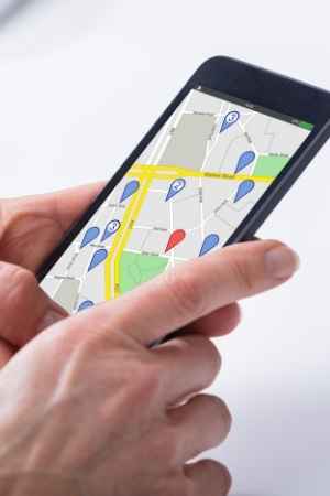
In its blog post, Google said that it would collect data from the different sources for COVID-19 cases in an area, including John Hopkins, New York Times, and Wikipedia. Users can view the data in Google Maps by tapping on the layer ‘COVID-19 info’. These sources get data from public health organizations like the World Health Organization, government health ministries, along with the state and local health agencies and hospitals. In COVID Layer, seven-day new average cases will be shown per 100,000 people for the area of the map being viewed. The features will also tell the increase and decrease in the cases.
Taking it to its Twitter account, the Google Maps announced, To help you navigate the world safely, you’ll start seeing information about new COVID cases in an area with data from sources like @nytimes, @JohnsHopkins, & @Wikipedia in a new layer on Maps. Rolling out on iOS & Android, with more ways to stay up-to-date coming soon.
Google Maps has added a color-coding feature for users to identify new cases in the area which is as follows – Grey: Less than 1 case, Yellow: 1-10 cases, Orange: 10-20 cases, Dark orange: 20-30 cases, Red: 30-40 cases, Dark red: 40+ cases.
Earlier this year, Google and Apple released the COVID-19 exposure notification feature for both iOS and Android users. With no fixed date announced, the company has stated that the COVID Layer feature will be rolled out for iOS and Android users by this week.
With the increase in Coronavirus cases in India and worldwide, the pandemic seems a never-ending battle. Google Maps announcing its new feature will help people avoid traveling to affected places. If there is a travel demand, users can take precautions before, during, and after visiting the area. Technology has played an essential role in tracking, testing, and treating the virus. The case data is visible at the country level in all 220 countries and territories supported by Google Maps.

